|
|
Home →
Pine Barrens →
Culvert
|
The Culvert
Page 3 of 4 |
|
|
|
|
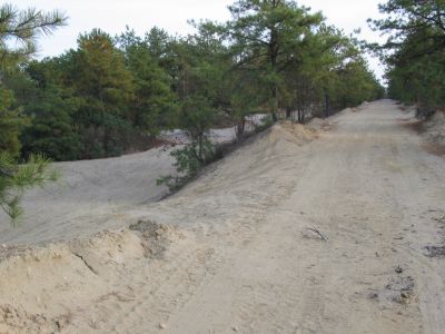
On the south side of the Culvert a triple road runs
along the old railroad grade. One road runs along the top, directly
along the grade, while the other two runs parallel to each side. In
this picture, the main railroad grade is in the center running off to
the right, while one of the parallel side roads is on the left. All
of the pictures on this page are of this area (except the last one). |
|
| |
|
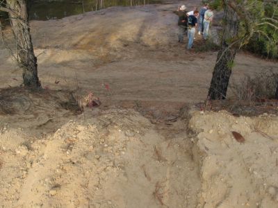
Looking back at the Culvert (reversing the view of the
above picture).
People drive their 4x4s, ATVs and dirt bikes
anywhere.
|
|
| |
|
|
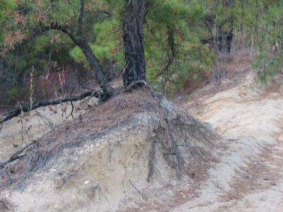
This picture shows how far the soil has been eroded!
There's about 3-4 vertical feet of exposed tree
roots here. |
|
| |
 |
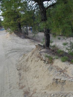
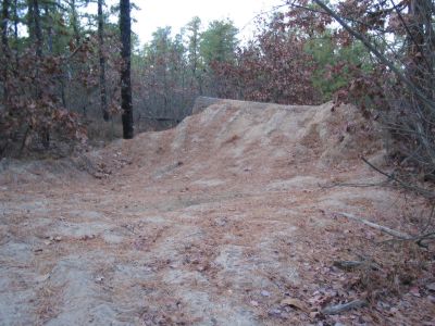
A close-up view of where people drive from one of the
roads to the other, down the embankment any old place.
Heavy erosion occurs here during rains.
|
|
|
|
|
|
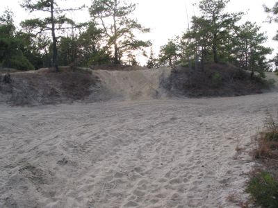
Here you can see the massive, overall erosion
and destruction.
The railroad embankment runs across the picture,
just above the center.
At one time this would have all been forest! |
|
|
|
 |
But Tracker students
aren't the only ones concerned about what's happening here.
Someone has built this barricade across one of the
side roads in the hope that it will stop vehicles. Although it's
ugly, it is somewhat effective.
Unfortunately, dirt bikers regard it as a a
challenge! |
|
|
|
|
Previous
Next
These photos were taken at the
Caretaker class in Nov 2001
Copyright © Walter Muma
|
|
|
|
|

